


Bukchon red zone: visiting hours and map
Where does the restricted area begin? When can you visit? A guide through street signs, photographs and a map of the boundary.
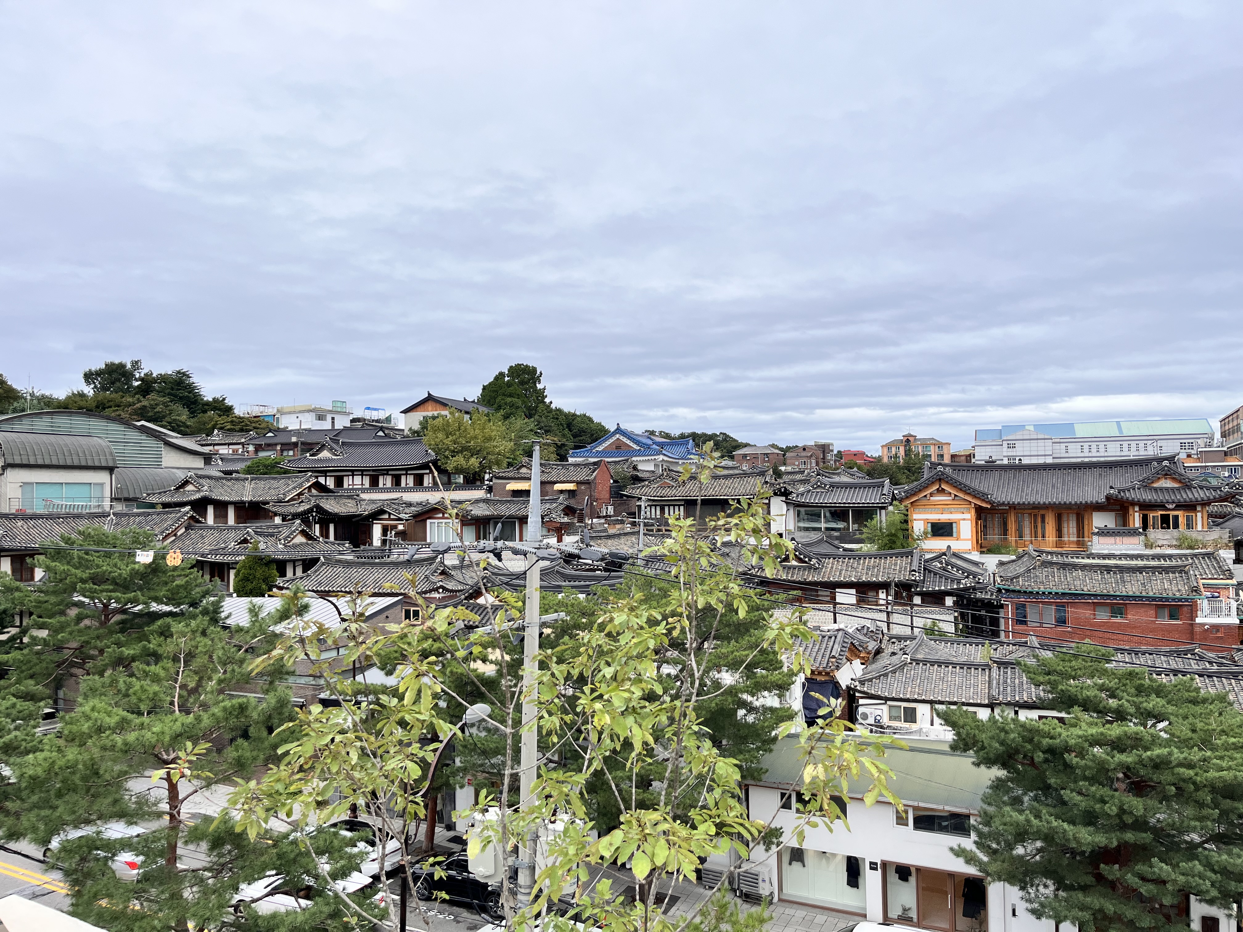
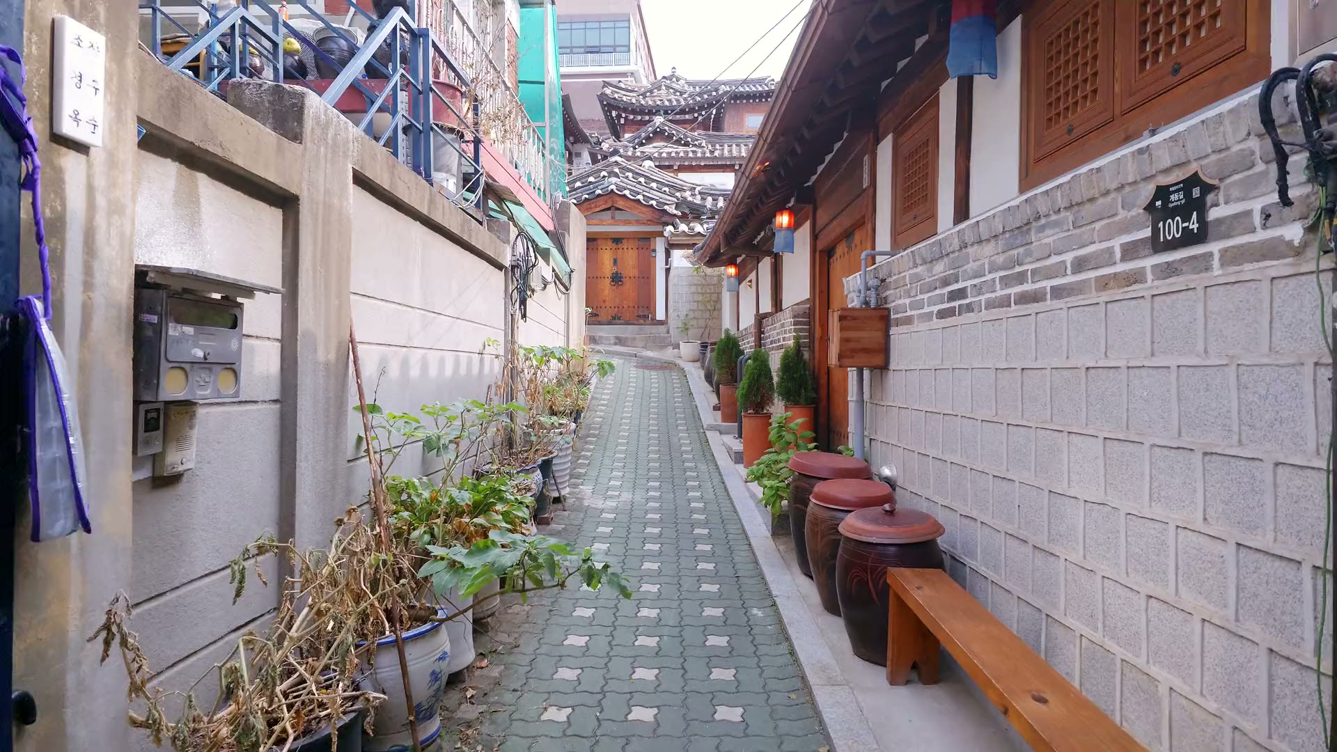
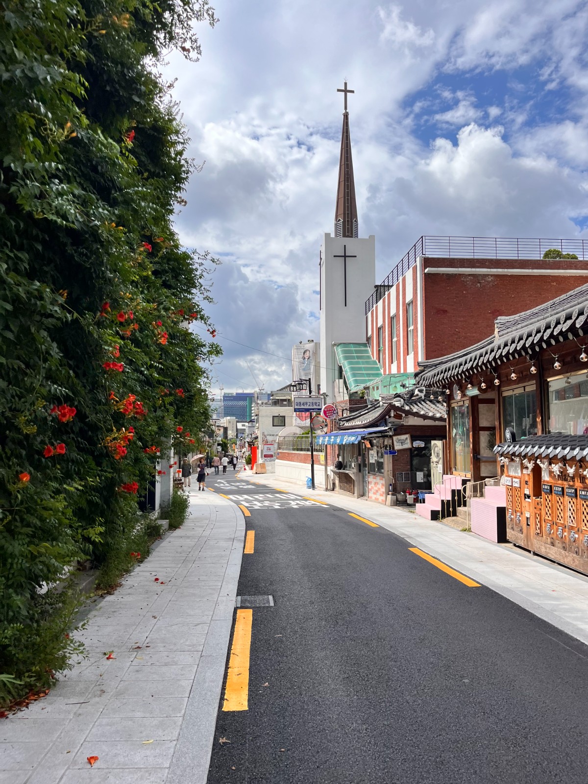
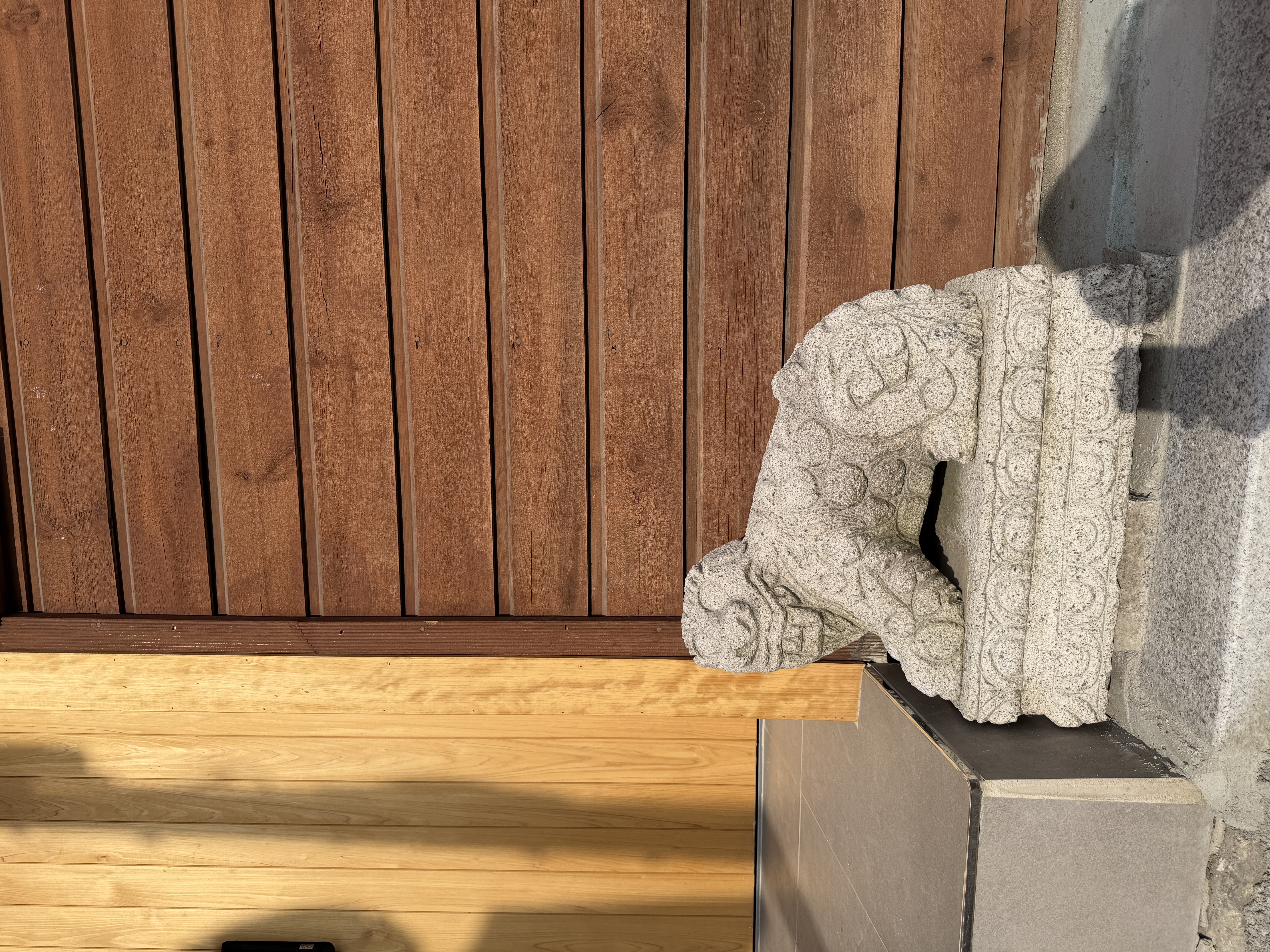
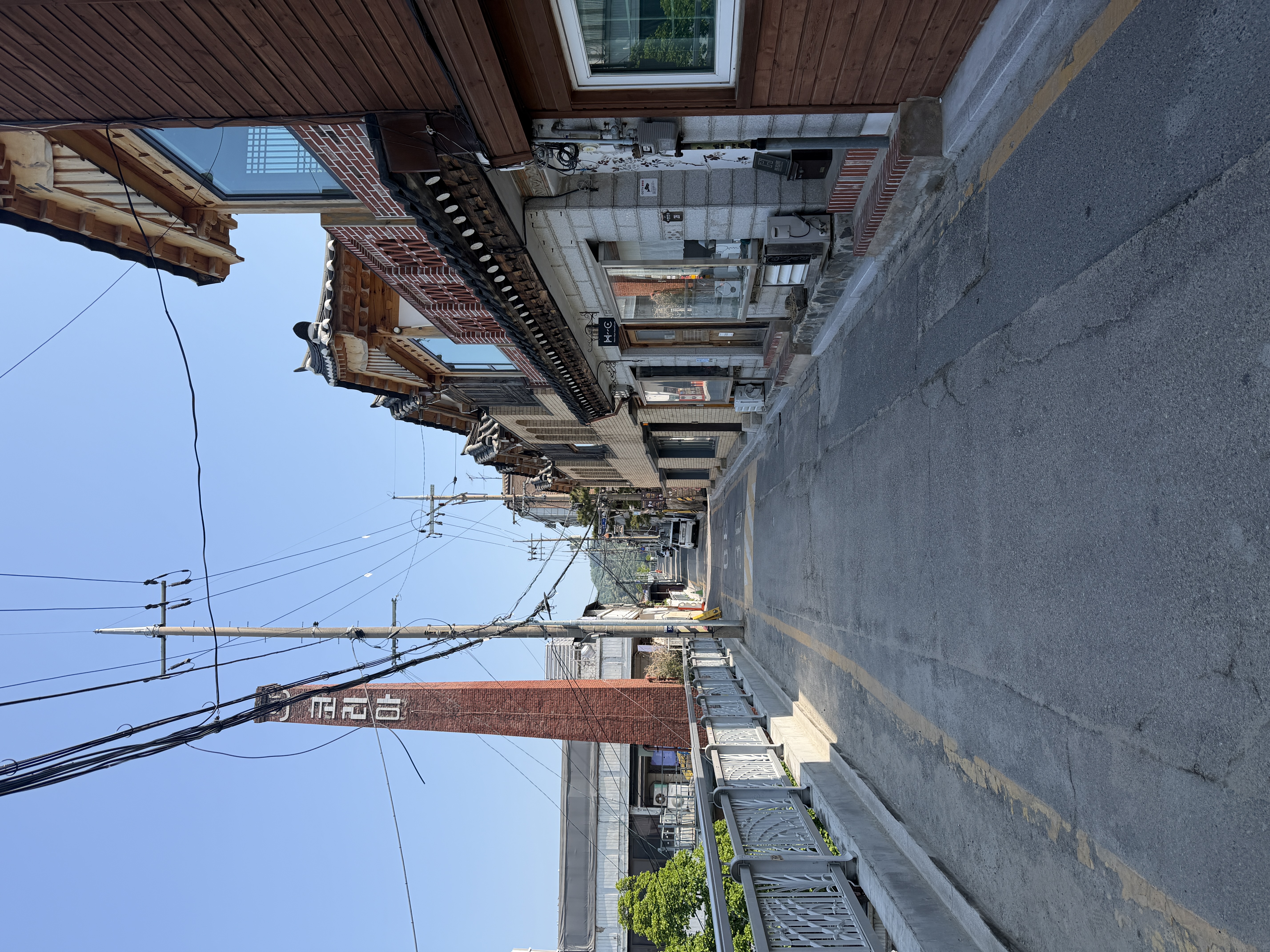
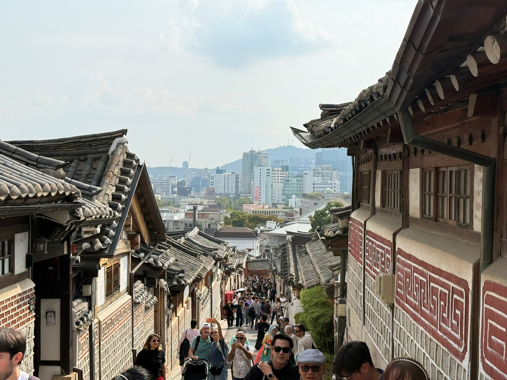
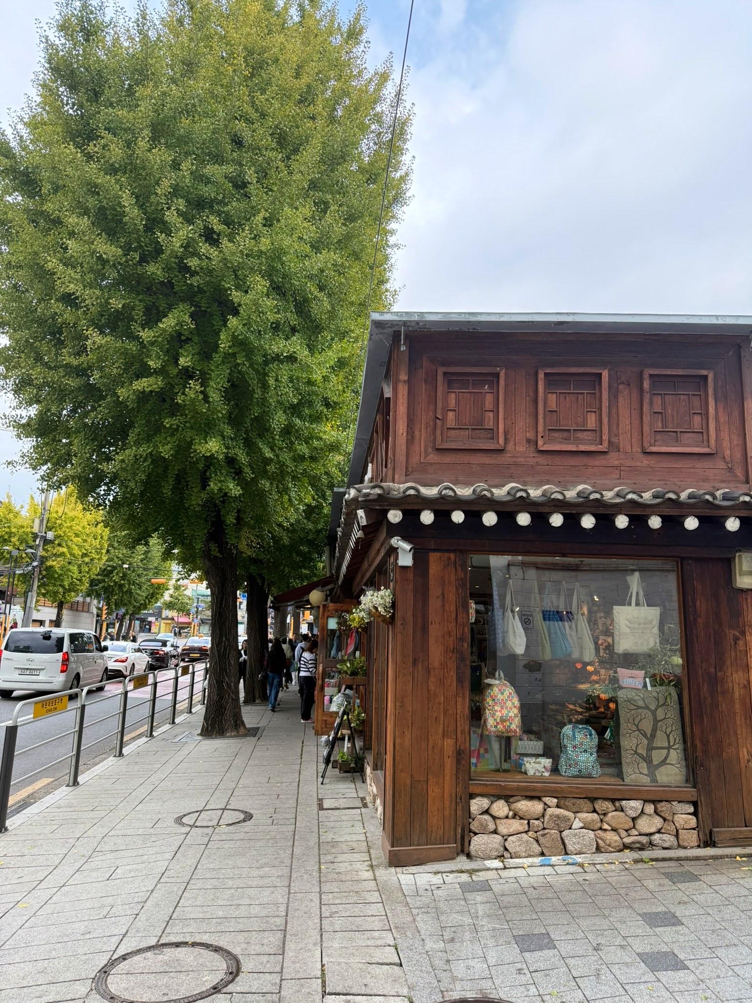
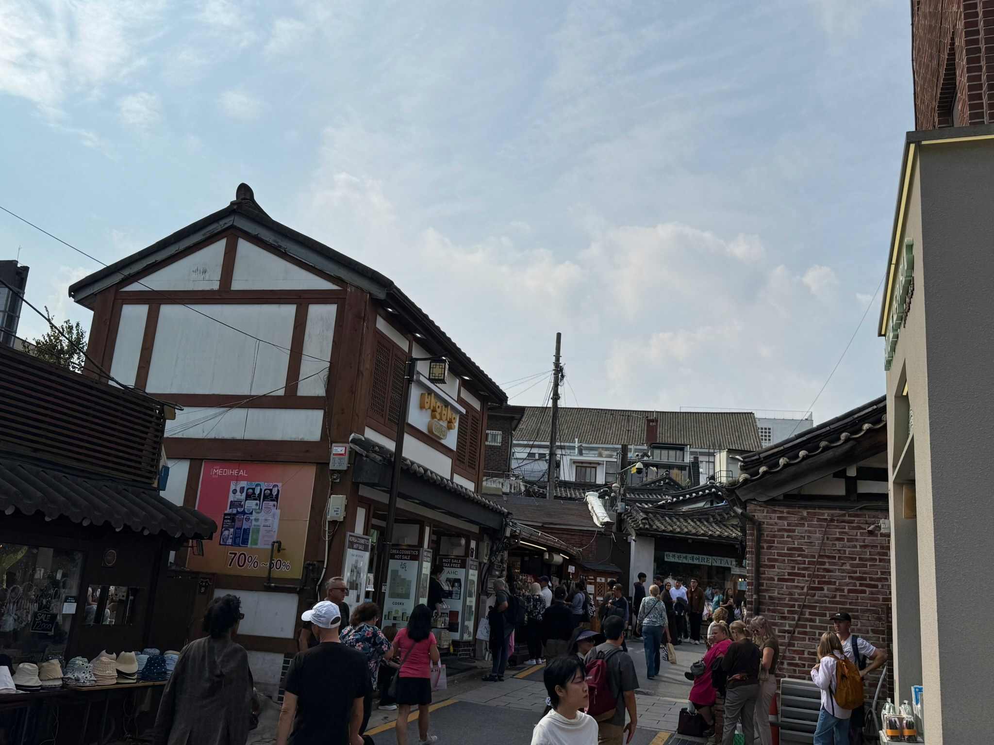
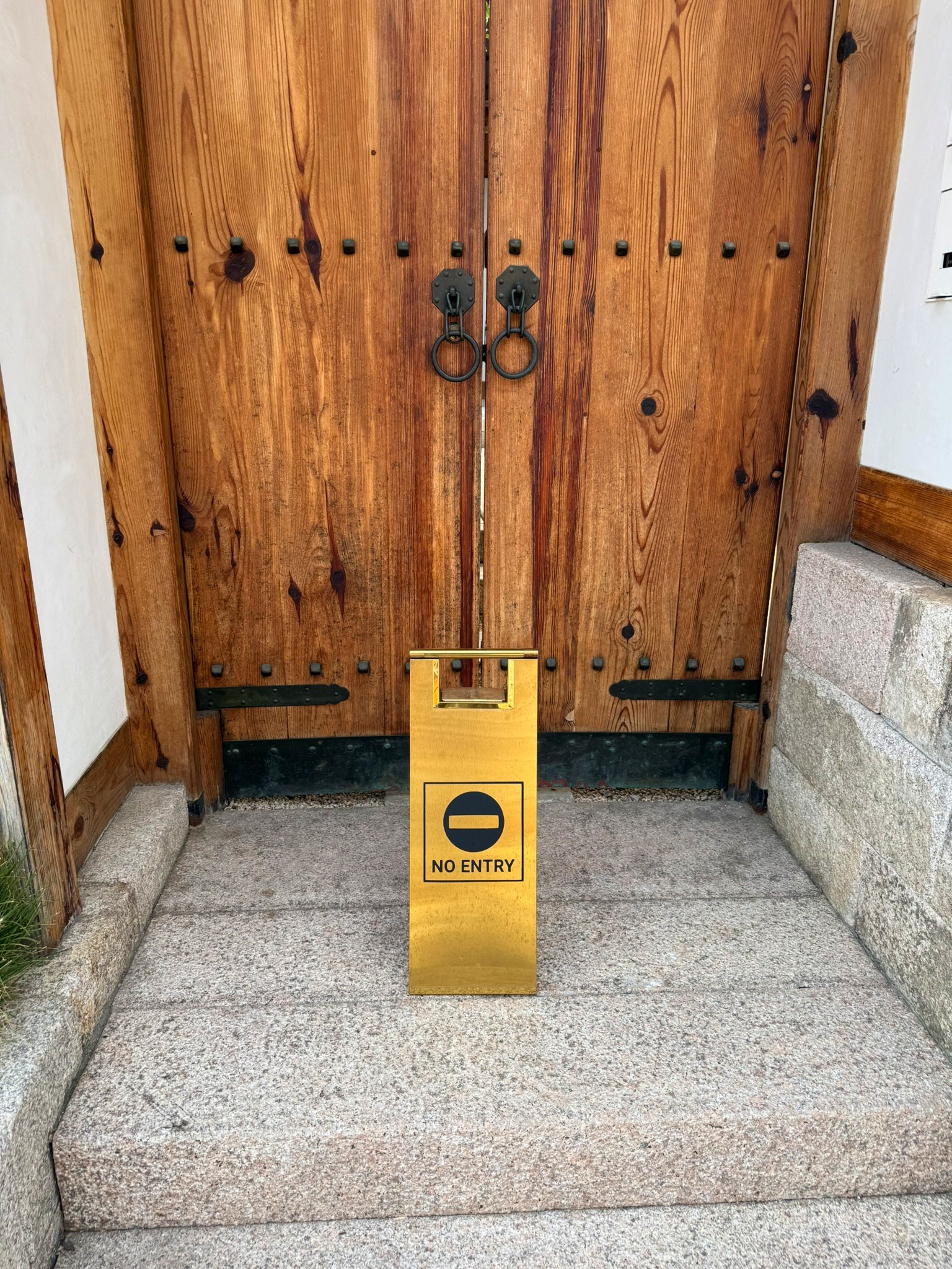
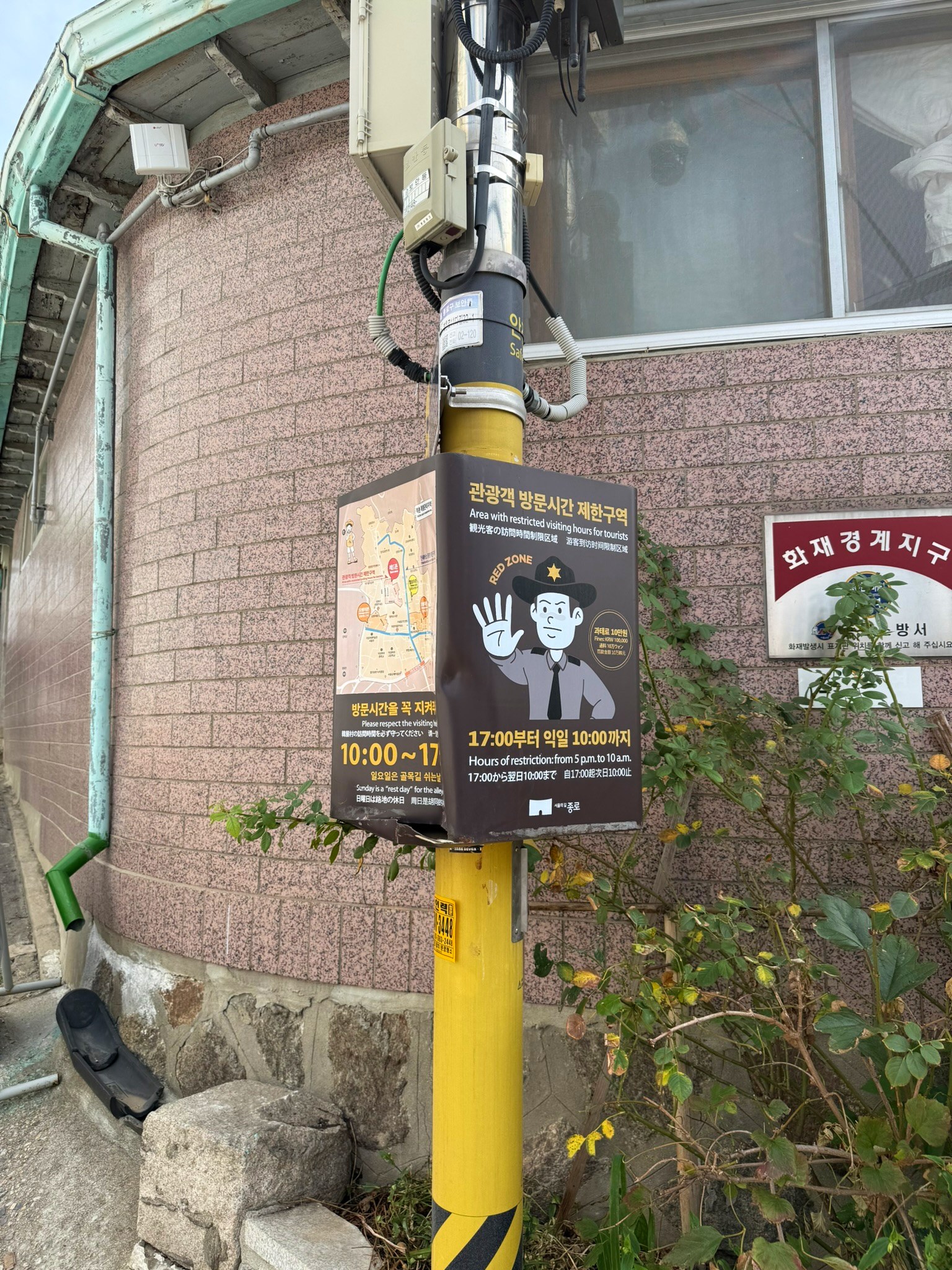
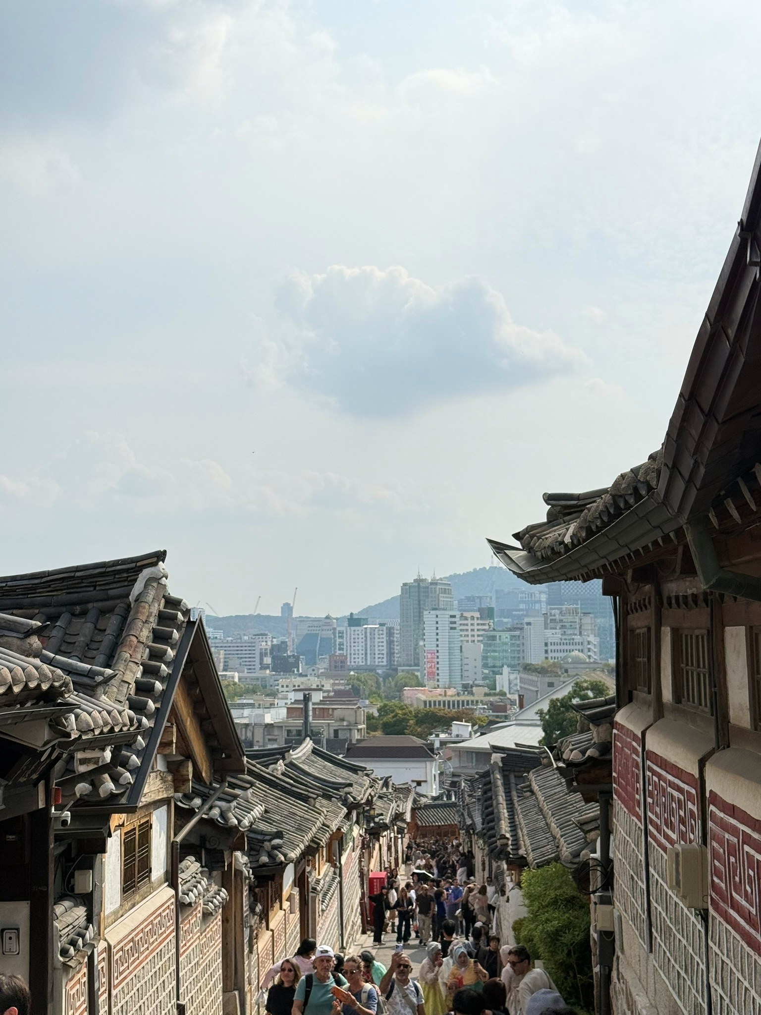
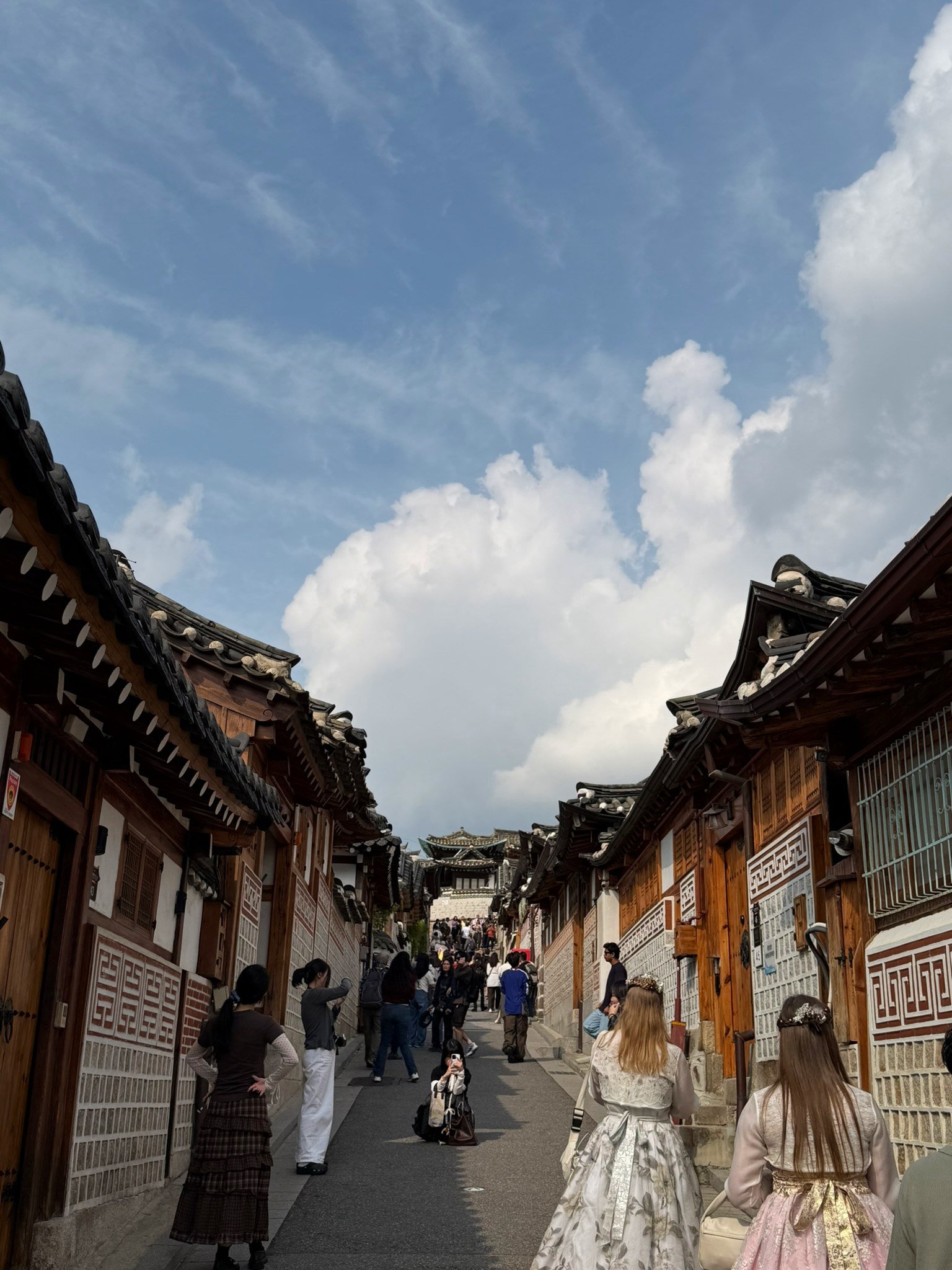
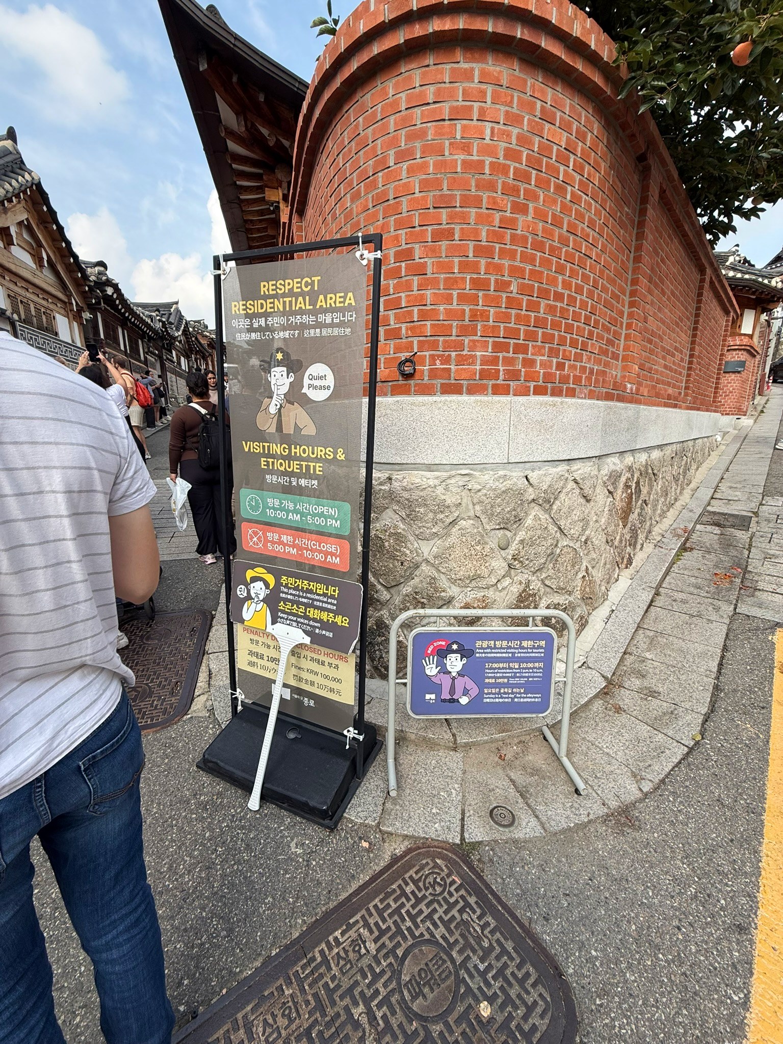
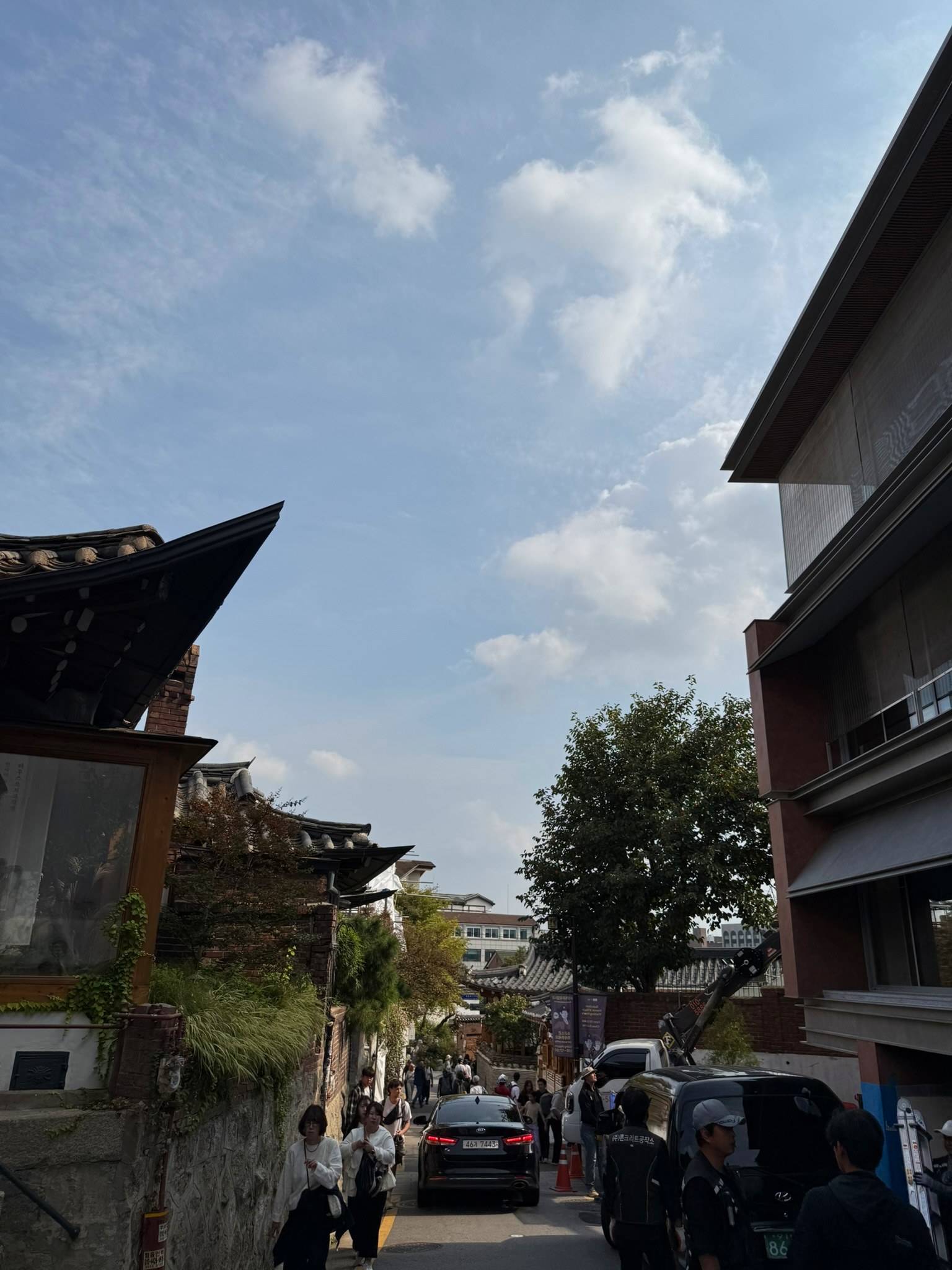
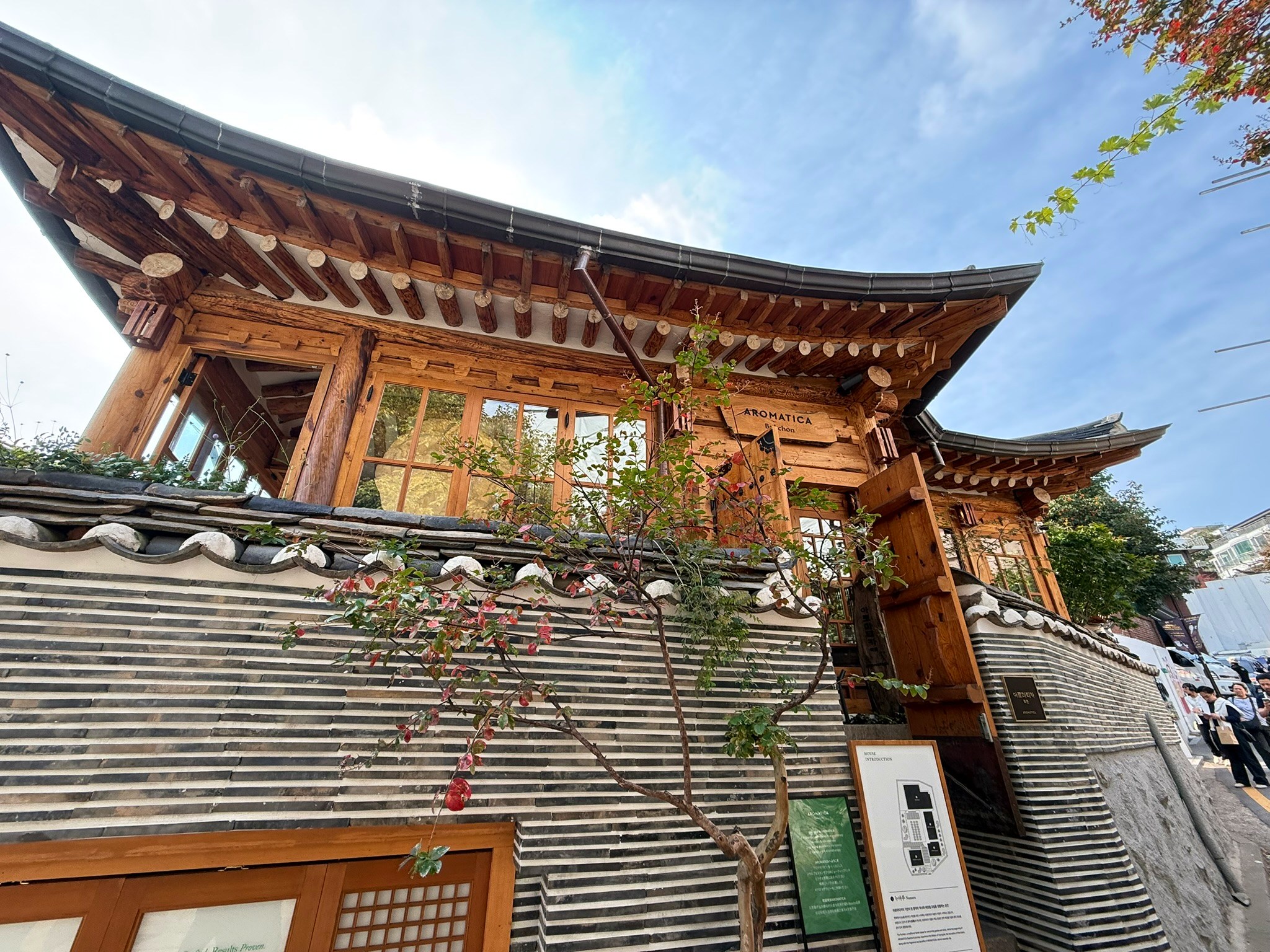
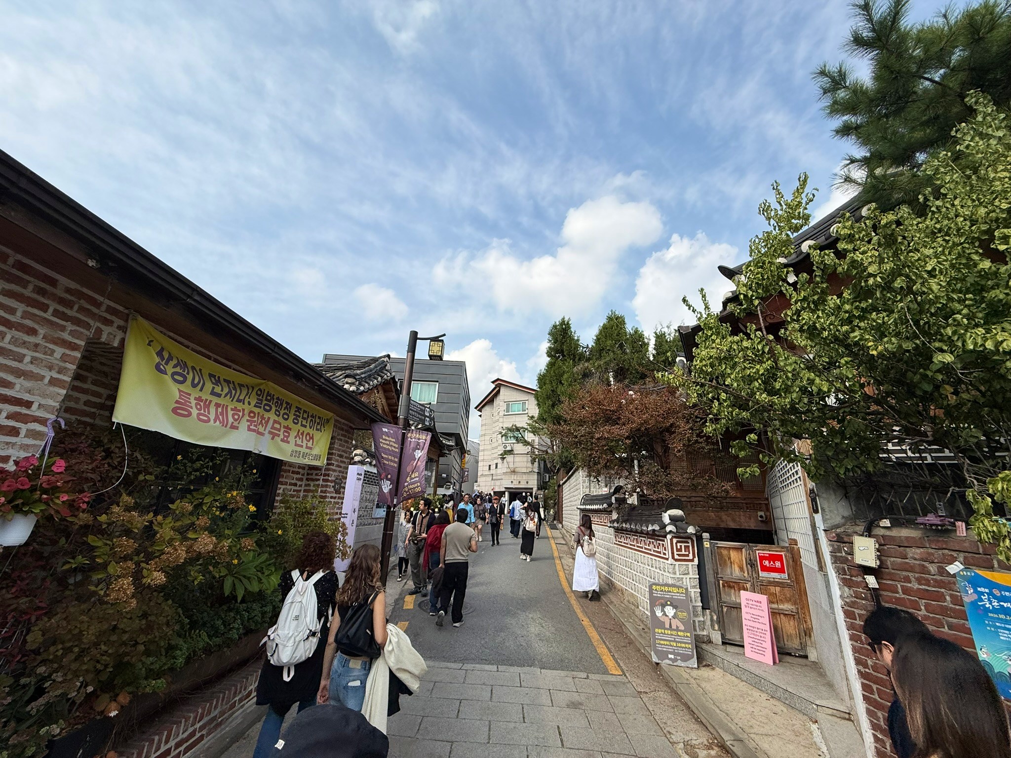
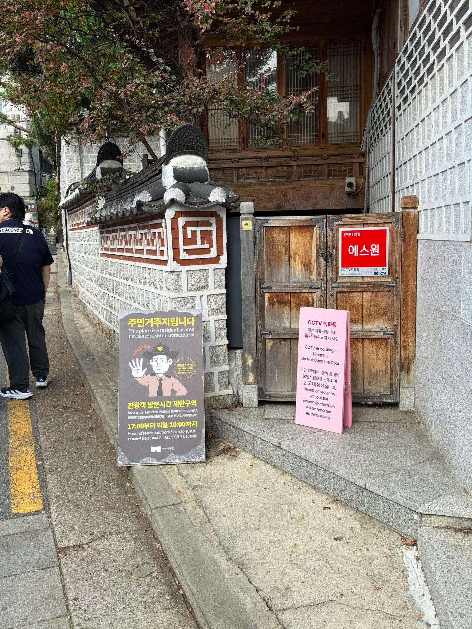
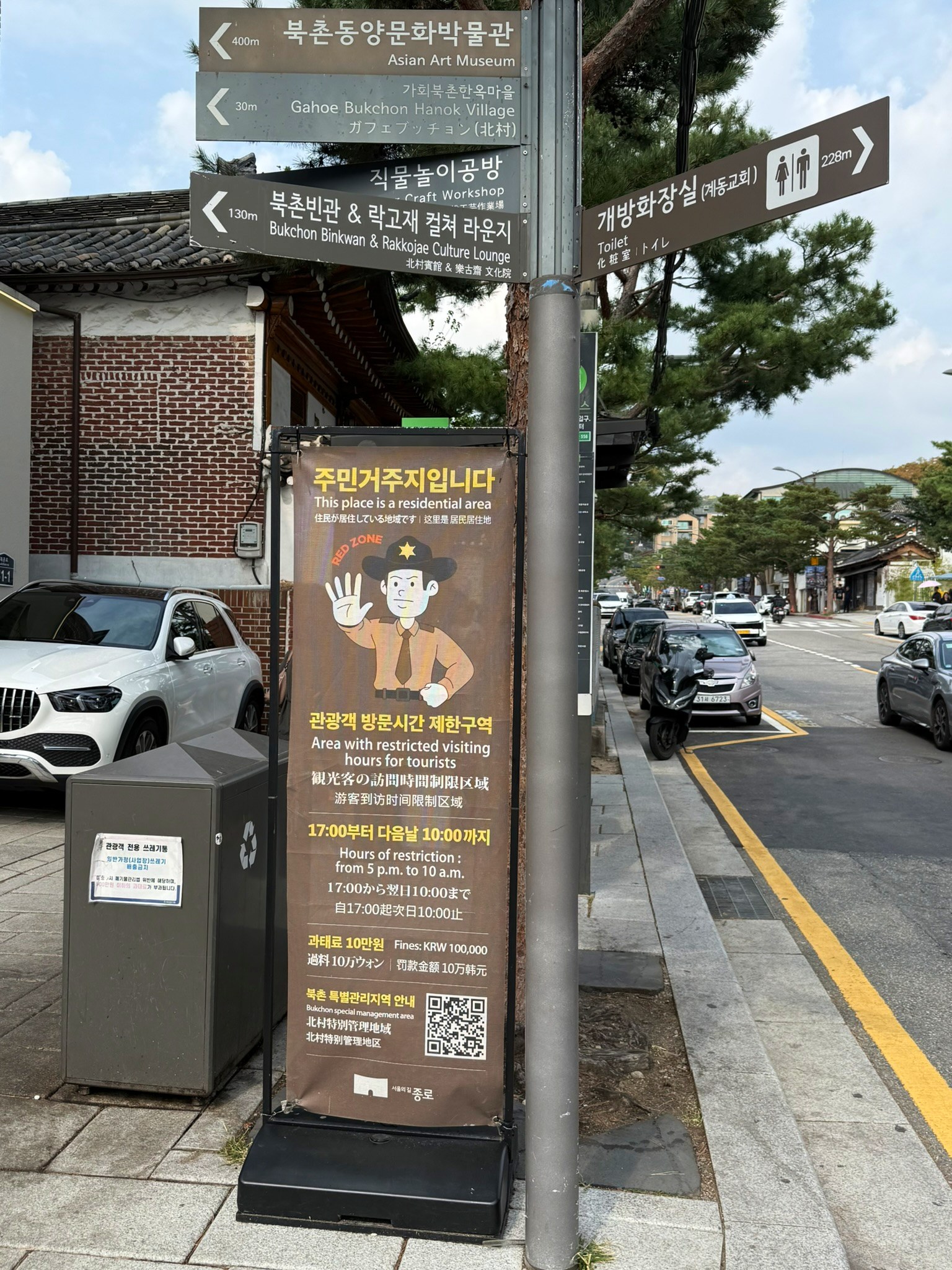
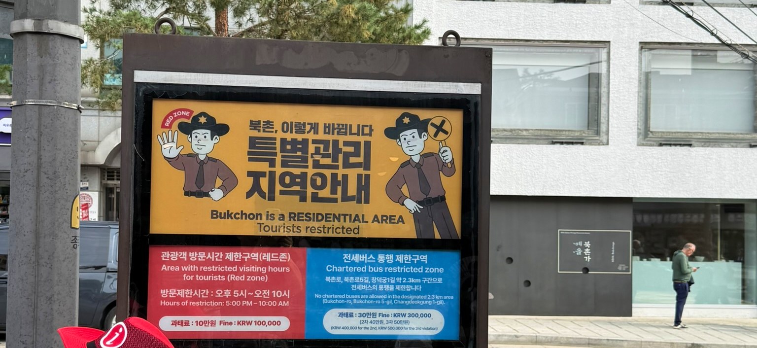
In Bukchon, signs are as much a part of the streetscape as tiled roofs and stone walls. A small notice stands in front of a wooden gate; another explains visiting hours on a wall. The photographs taken on 16 October show busy hanok lanes, quieter passages and the junctions between them.
They offer a practical way to read the neighbourhood: notice which lane you are entering, keep your visit within the permitted hours and leave room around somebody’s front door. Understanding the red zone means putting those habits on a map.
The red zone is one part of Bukchon
The restriction covers approximately 34,000 m² around Bukchon-ro 11-gil. It does not cover every place described as Bukchon, or the whole walk north from Anguk Station. Use the boundary published by Jongno-gu.
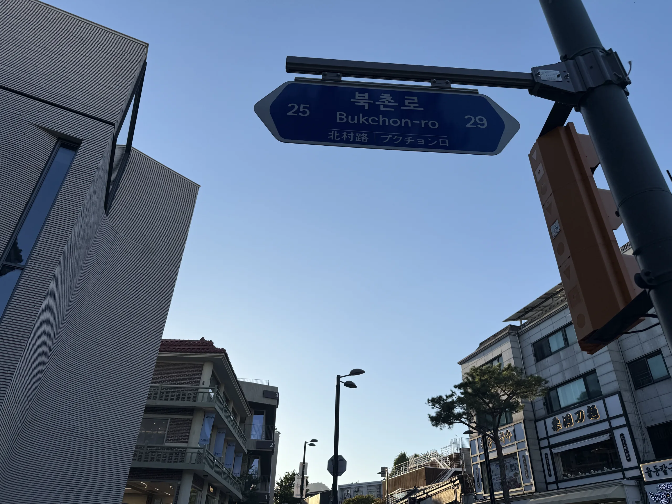
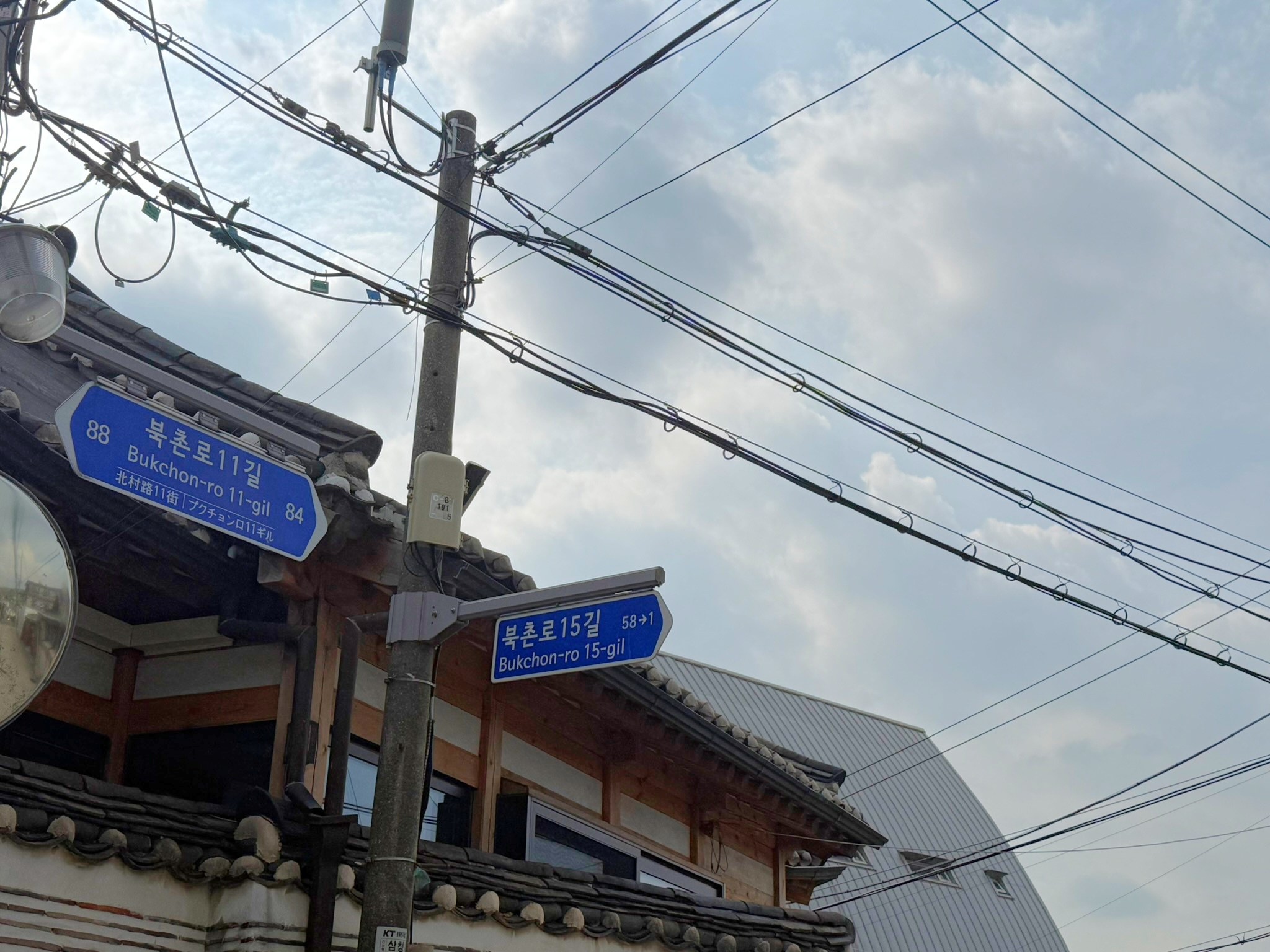
Read road-name signs alongside the visitor notices. Main streets, residential passages, steps and junctions can follow one another quickly. The position of a sign alone does not establish the legal boundary; the map separates the restricted area from the suggested walk.
Three things to check before visiting
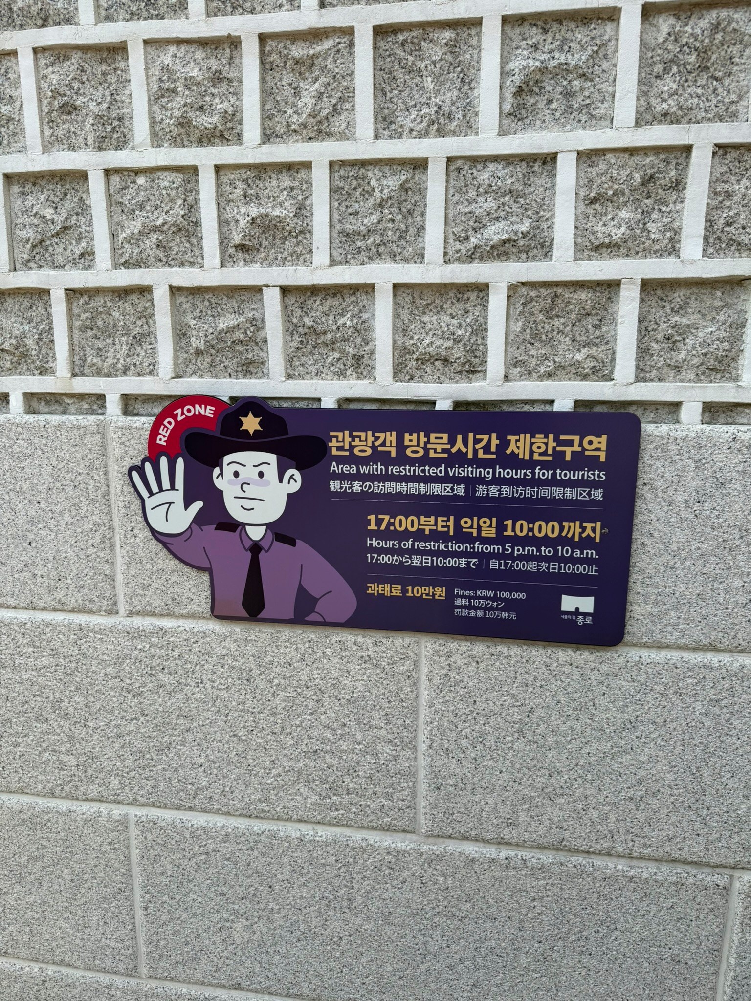
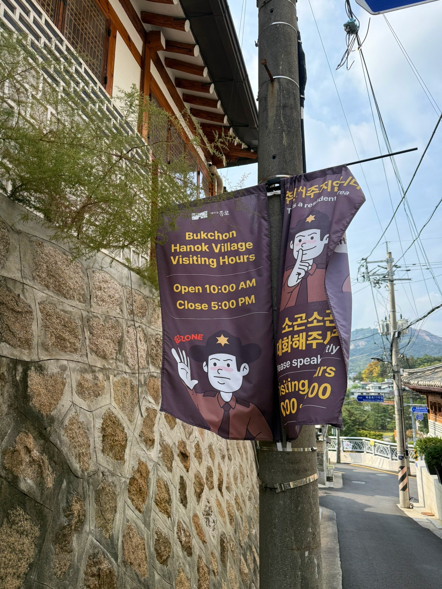
Tourist visiting hours: 10:00–17:00
Plan to finish sightseeing and photography and leave the area before 17:00.
Restricted hours: 17:00–10:00 next day
An early-morning photography visit can also fall within the restricted period.
Fine for violations: KRW 100,000
Fines took effect on 1 March 2025. The photographed notice also states this amount.
What about shops and overnight stays?
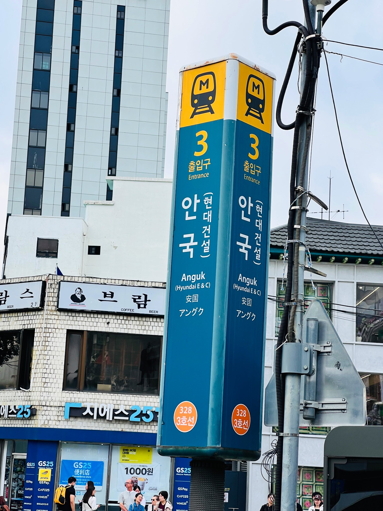
Exceptions include residents, their visitors, shop customers, traders, overnight guests and people simply passing through without sightseeing. An exception does not permit tourist photography or sightseeing during restricted hours; those activities may still attract a fine.
From Anguk Station into the lanes
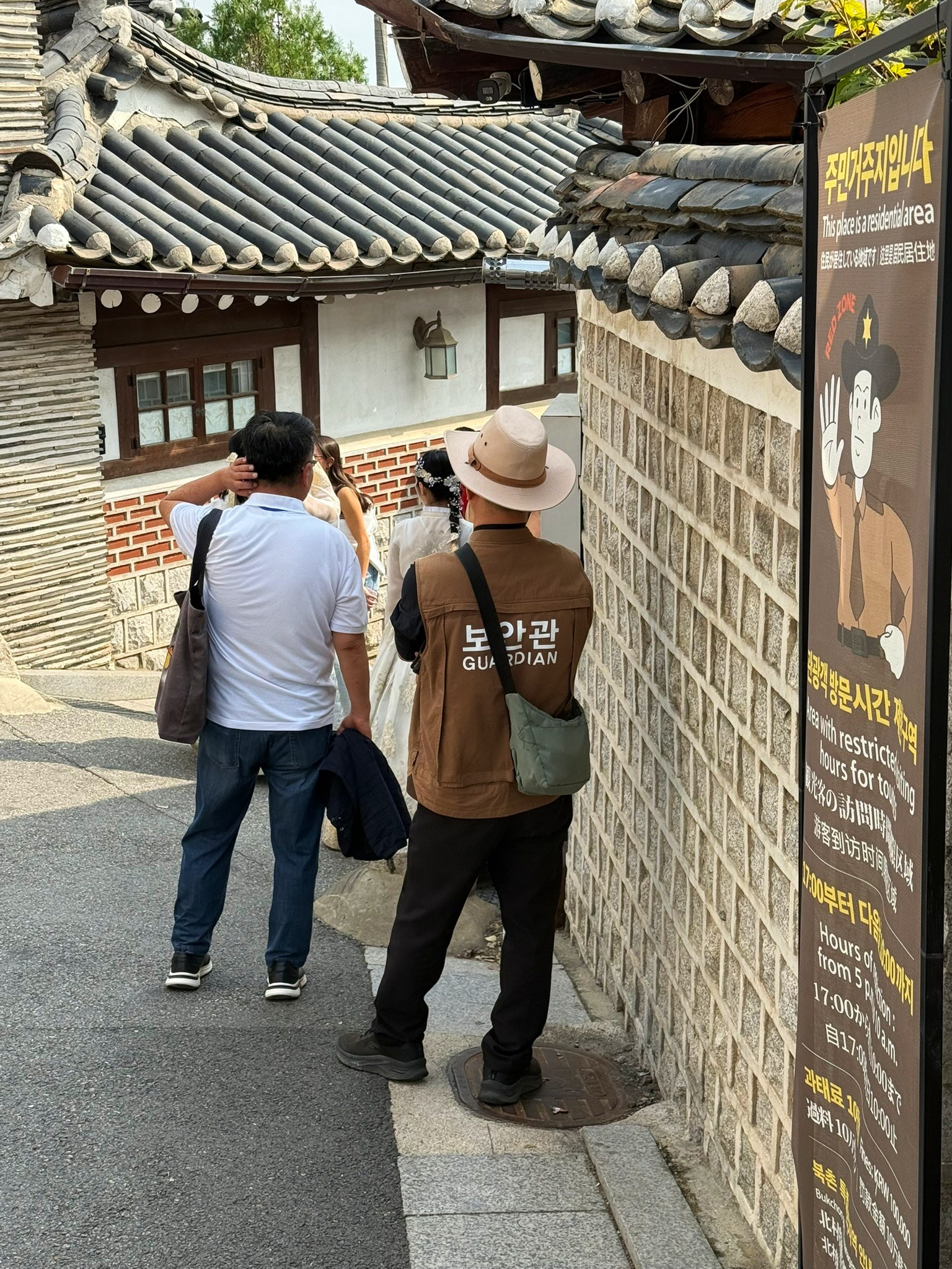
The suggested approach follows Bukchon-ro north from Anguk Station Exit 3 to Bukchon-ro 11-gil. Inside the lanes, locate the 11na-gil and 11da-gil junctions, then the northern bend and 15-gil towards the entrance to Samcheong Park. That northern endpoint is an editorial choice for a walk, not the edge of the red zone or an administrative boundary.
Switch between the full route and junction detail. The green line is a suggested walk, not a GPS track of this shoot.
A doorstep is still part of a home
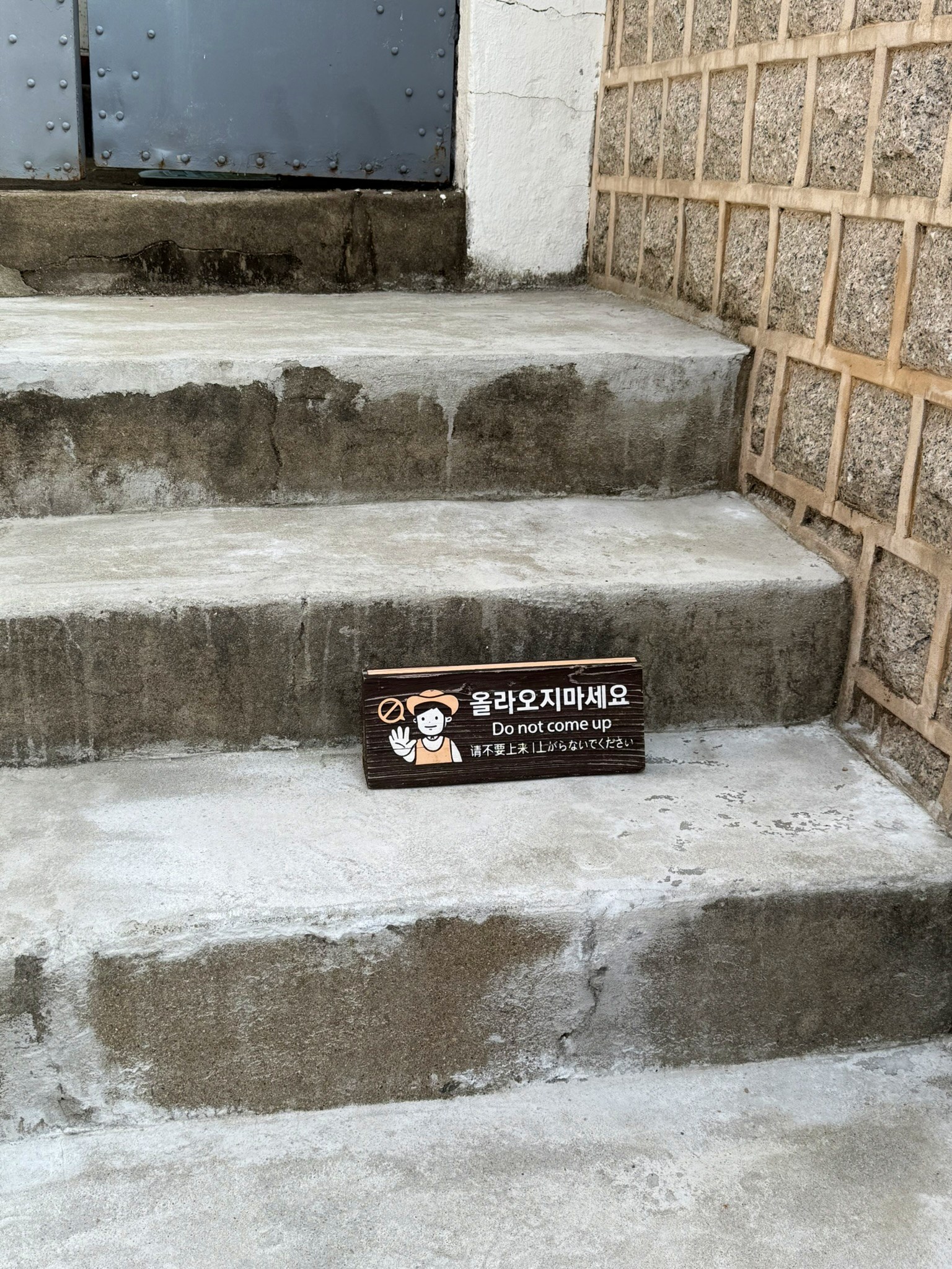
The photographs include a no-entry notice at a wooden gate and a no-sitting sign on steps. A doorway may make a beautiful composition, but it also marks a household’s space. Avoid looking through open doors or blocking an entrance for a photograph.
Keep conversations low and leave a passage when stopping to read a sign. Step aside once you have taken your photograph. In a crowded lane, a brief observation is often more considerate than waiting in place for the perfect empty frame.
Questions before the walk
Can I arrive just before 17:00?
Sightseeing hours end at 17:00. Allow time to finish your photographs and leave before then; the arrival time alone is not the point.
Should I stay quiet outside the red zone?
Yes. A boundary does not turn the surrounding residential lanes into visitor-only spaces. Respect privacy, keep paths clear and follow local notices.
Does a sign mark the exact boundary?
Not necessarily. Check the official map as well. A photo’s GPS position or a notice’s location should not be used on its own to infer the boundary.
Is this live navigation?
No. It is an editorial map for understanding boundaries and junctions. Temporary closures or works may not appear; follow instructions on site.
Ten checks before entering
- Check the current official guidance
- Locate the red-zone boundary
- Plan to arrive after 10:00
- Finish sightseeing before 17:00
- Read road names at junctions
- Lower voices and phone volume
- Avoid photographing inside homes
- Respect no-entry and no-sitting signs
- Keep entrances and paths clear
- Take your litter away
The photograph is only one thing to take home. Reading the rules of a lane, and leaving room for someone else’s day, can become part of the memory too.
Scenes and signs from the lanes
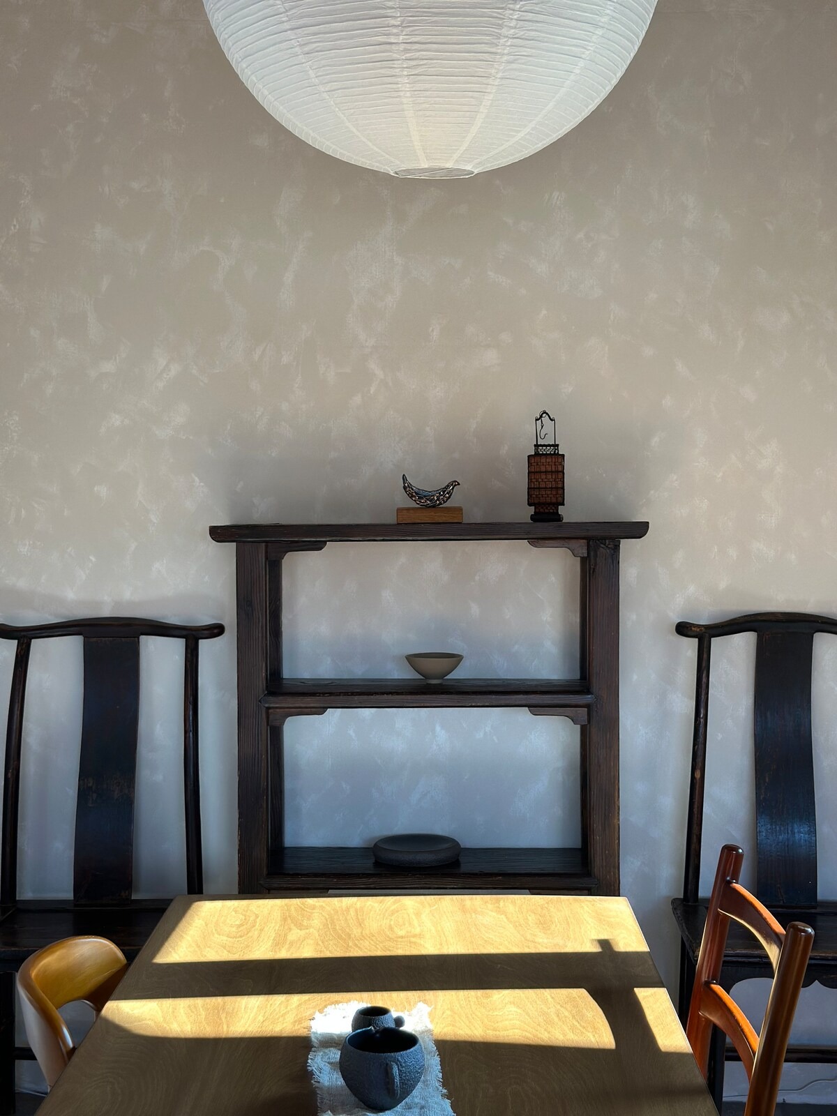
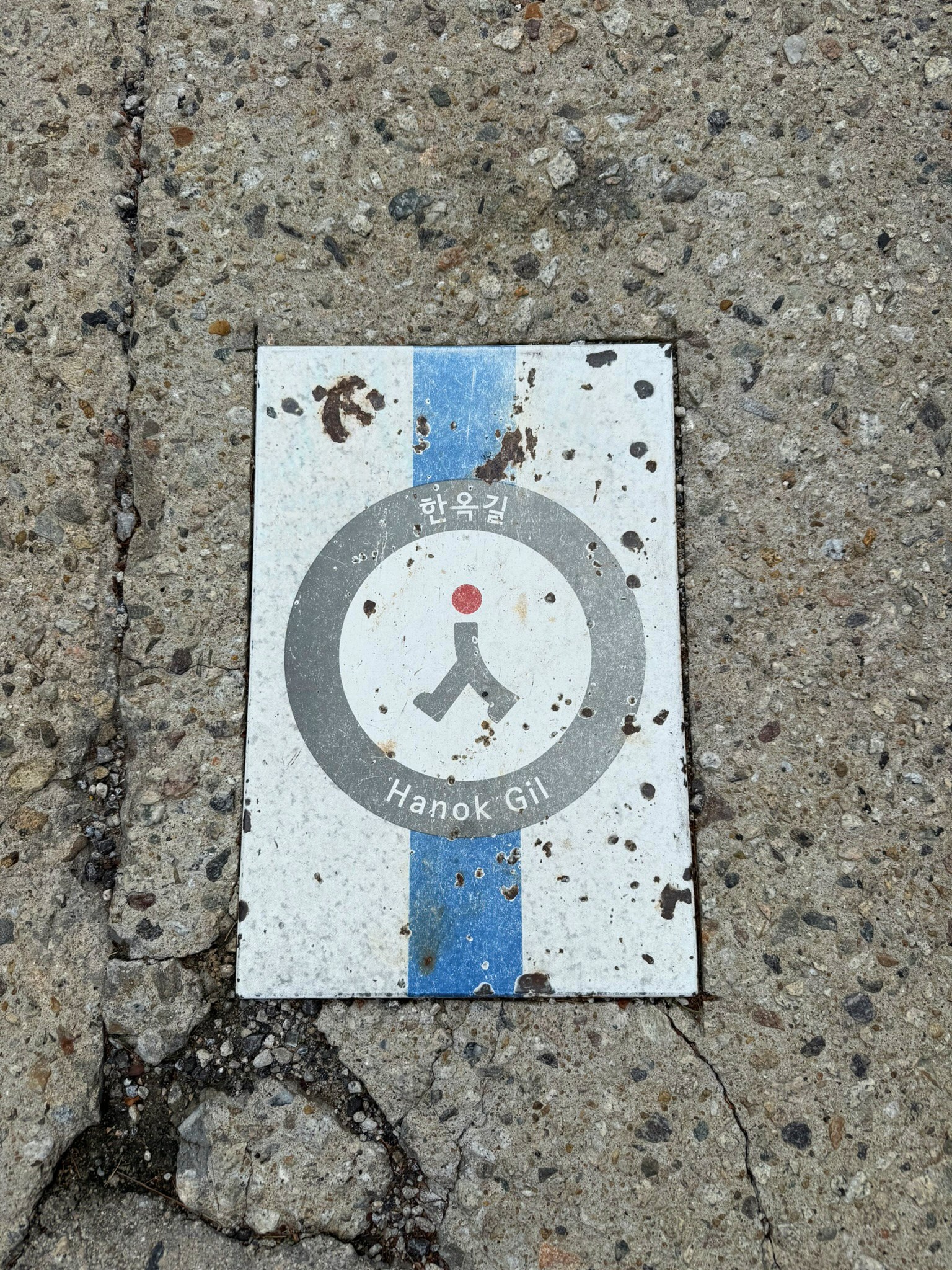
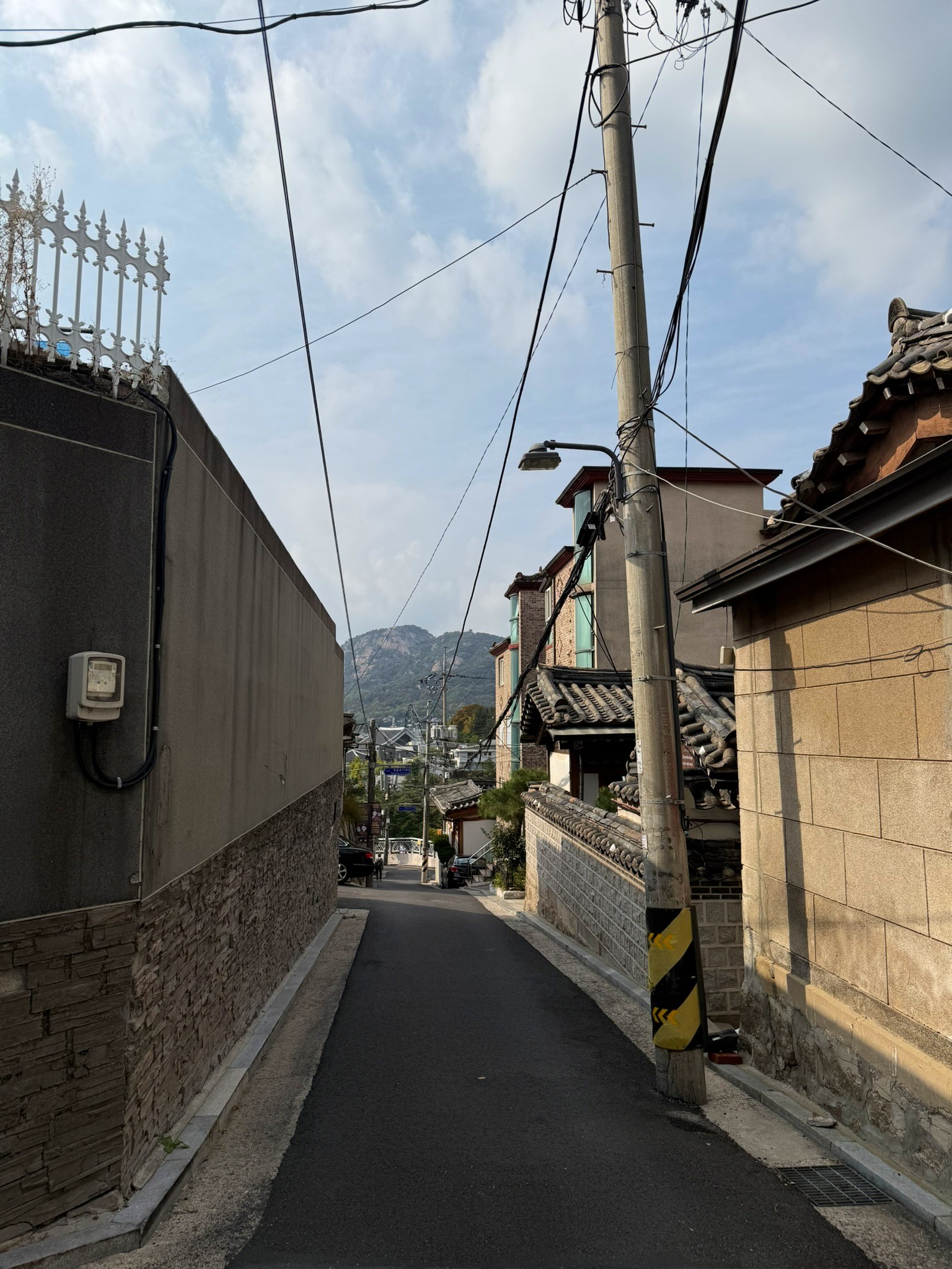
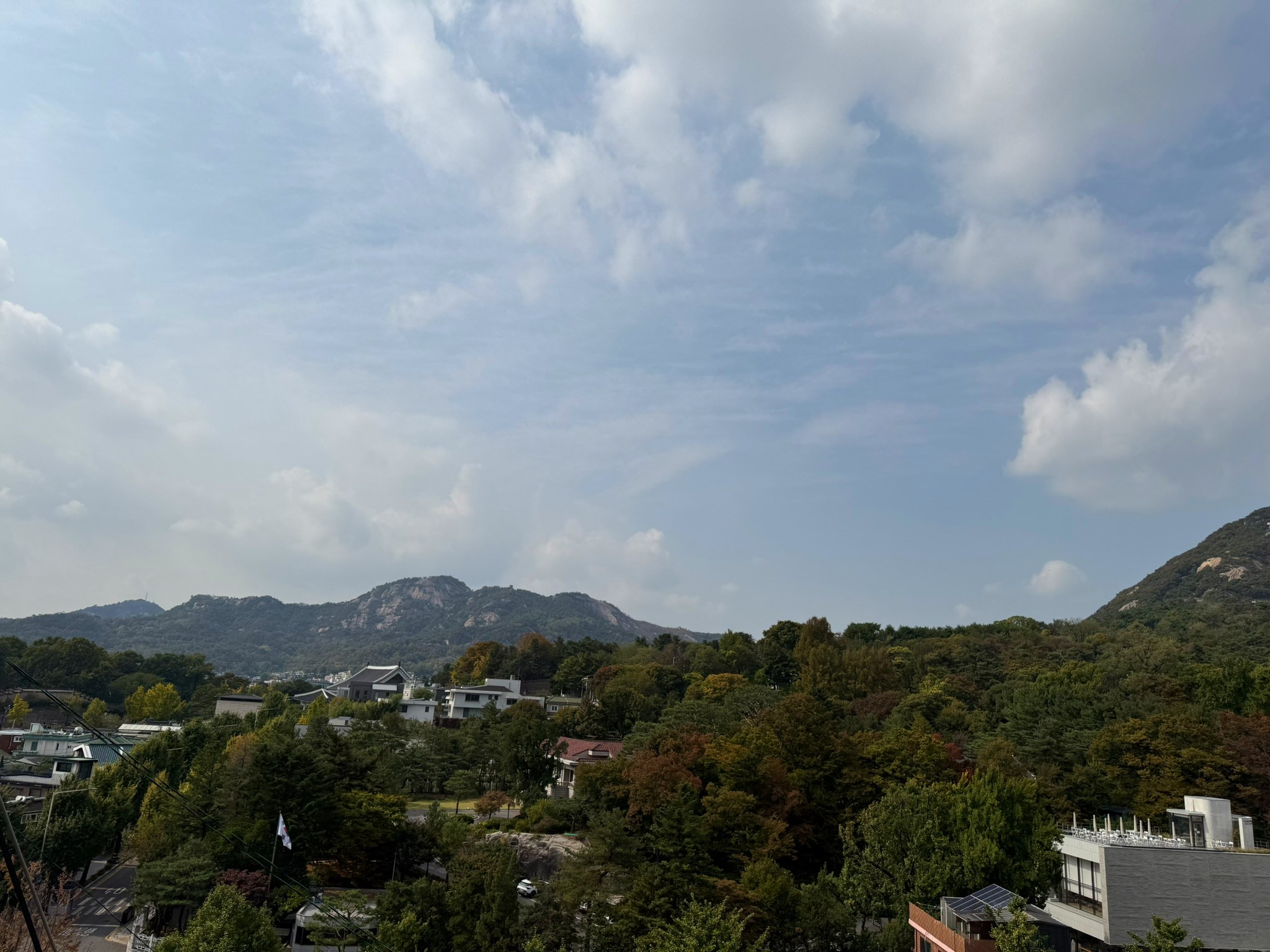
Taken in order over about 15 minutes from 1 p.m. on Friday 16 October, walking down from the Bukchon-ro 11-gil / 15-gil junction towards the main road. Hillside views, hanok lanes and the notices placed between them.
Sources and photographs
- Jongno-gu special management area guidance
- Jongno-gu Notice No. 2025-344 · fine enforcement guideline (Korean)
- Jongno-gu enforcement announcement · 28 February 2025
- Seoul visiting-hours and area notice
- Official boundary on Smart Seoul Map
- OpenStreetMap road data
Policy checked 16 October 2026. On-site photographs supplied by Boutiquer. The article draws on photographs and official sources; it contains no resident interviews. Check official guidance again before travelling.